Published 12 November 2021
Basseterre
Buckie Got It, St. Kitts and Nevis News Source

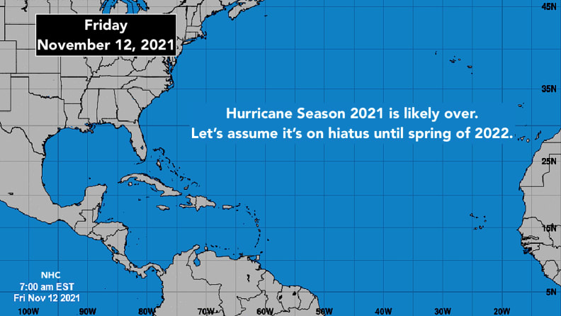
A wintertime atmospheric pattern dominates the Atlantic, the Gulf of Mexico and most of the Caribbean Sea. The jet stream has dipped far south over the U.S., which pushes cold fronts and dry air toward southern latitudes. No tropical systems can penetrate this type of weather pattern.
In addition, dry air covers most of the Atlantic from Africa to the U.S. in the middle levels of the atmosphere, which is a deterrent to tropical development.
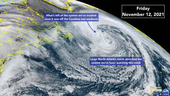
The strong system that pounded the Carolinas last weekend and elevated tide levels as far away as South Florida has wrapped all the way around a giant North Atlantic vortex. You can see what’s left of it as a bulge in the cloud pattern. It will be completely absorbed.
A potential hybrid storm like the one Tropical Storm Wanda developed from last week could still form over the open ocean. Sometimes they develop even into December when a wintertime low-pressure system gets stranded over warm enough water and under a patch of conducive atmosphere. But there’s no sign that the weather pattern would support that type of system on this side of the Atlantic in the foreseeable future.
So let’s assume hurricane season is over. Enjoy your vacation from the tropics.
