Published 5 October 2025
Buckie Got It
St. Kitts and Nevis News Source
Urgent – Marine Weather Message
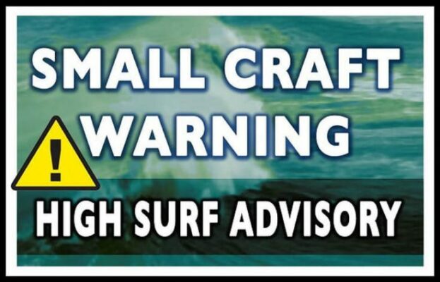
High Surf Warning
Antigua and Barbuda Meteorological Services
2:30 pm Saturday 04 October 2025
…High surf warning for the British Virgin Islands, Anguilla, Antigua, Barbuda and Nevis…
Locations to be affected: Reefs and mainly exposed northern and north-facing coastlines with relatively shallow, gentle to moderately sloping, nearshore areas.
Timing: Until Monday morning for the British Virgin Islands, Anguilla and Barbuda From tonight until Sunday morning for Montserrat
From tonight until Monday pre-dawn for Antigua
From midnight until Monday pre-dawn for Nevis
Synopsis: Rising moderate long-period swells are reaching the area, causing very hazardous conditions mainly along northern and north-facing coastlines. The threat level to the life, livelihood, property and infrastructure of those using the affected coastlines is high, with the potential for extensive impacts. These swells are expected to cause life-threatening surfs and rip currents for affected coastlines. A high surf warning means that dangerous battering surfs of over 3 metres or over 10 feet will affect some coastlines in the warning area, producing very hazardous conditions.
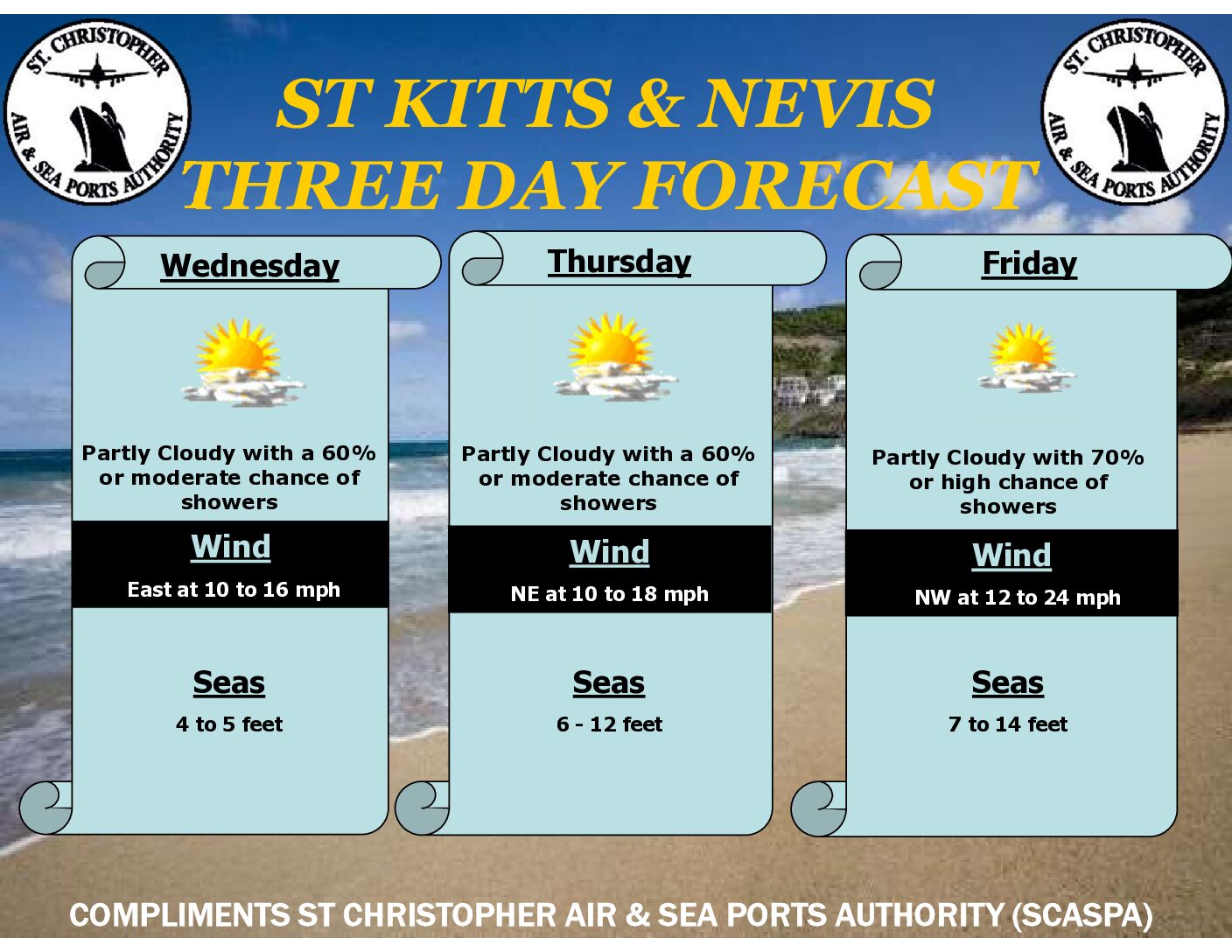
Seas (significant wave heights): 2.1 to 3.1 metres (7 to 10 feet), occasionally or locally reaching near 3.7 metres (12 feet). Swell period: 12 to 13 seconds. Swells: North at 2.4 to 2.7 metres or 8 to 9 feet and occasionally higher.
Surfs (breaking swells): Over 2.7 metres (over 9 feet). These conditions will be very conducive to dangerous rip currents. Please note that surfs could be as much as twice the height of swells, depending on the bathymetry of the nearshore areas.
Coastal flooding: High tides combined with onshore wind and swell actions will result in coastal flooding and beach erosion.
Potential Impacts: Loss of life–strong currents that can carry even the strongest swimmers out to sea; injuries to beachgoers; beach erosion; sea water splashing onto low-lying coastal roads; beach closures; disruptions to marine recreation and businesses; financial losses; damage to coral reefs; salt-water intrusion and disruptions to potable water from desalination. High surfs can knock spectators off exposed rocks and jetties.
Breaking waves may occasionally impact harbours making navigating the harbour channel dangerous.
Precautionary actions: No one should enter the waters of the main warning areas. All are also urged to avoid rocky and or coastal structures along affected coastlines. A high surf advisory will remain in effect for beaches on the western and eastern coastlines. Bathe only where lifeguards are present or on the sheltered, less affected beaches. Extreme caution is still required by those using these alternate areas.
Rip currents are powerful channels of water flowing quickly away from shore, which occur most often at low spots or breaks in the sandbar and near structures such as groins, jetties and piers. If caught in a rip current, relax and float. Don’t swim against the current. If able, swim in a direction following the shoreline. If unable
to escape, face the shore and call or wave for help.
Please continue to monitor these hazardous, life-threatening marine conditions. Stay tuned to updates from the Meteorological Office through antiguamet.com and Twitter, Facebook and YouTube @abmetservice.
Also, stay tuned to ABS Radio and TV along with other media platforms for updates
Read More...