Published 30th July 2020
Buckie Got It, St. Kitts and Nevis News Source
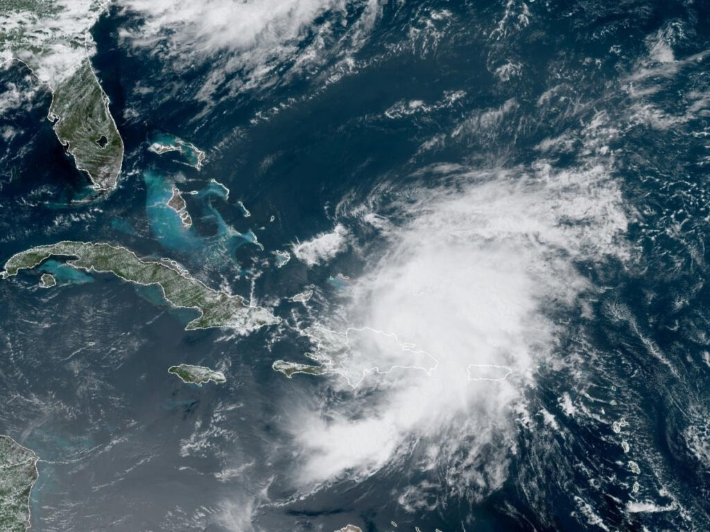
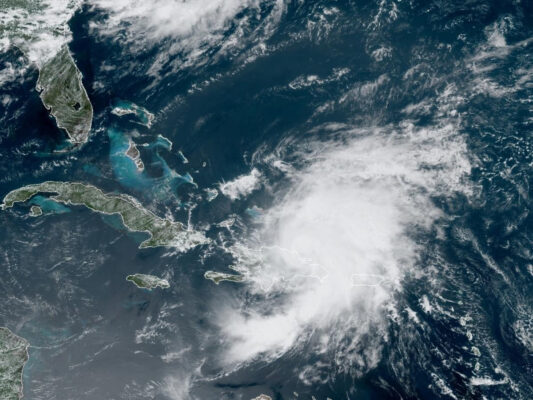
Potential Tropical cyclone #9 drenched St. Kitts and Nevis with rain on late Tuesday and on Wednesday (July 28 and 29) causing waterways to flood, while winds gusting close to 50 miles per hour toppled electrical poles and trees.
The tropical disturbance passed to the South of the twin-island federation but made an impression with its wide rain bands. The tropical disturbance has since been upgraded to a Tropical Storm with the name Isaias.
National Disaster Coordinator, Abdias Samuel, said that residents need to maintain a vigilant stance as the Atlantic Hurricane Season continues.
“We ask that you remain in a high state of preparedness and continue to monitor your local weather forecast from the Met [meteorology] Office,” Mr Samuel stated at the July 29 National Emergency Operations Centre (NEOC) Briefing.
The National Disaster Coordinator also advised individuals to pay close attention to bulletins from the National Emergency Management Agency (NEMA), the Nevis Disaster Management Department, and local radio stations.
The Atlantic Hurricane Season began on June 01 and ends on November 30. Experts stated that the season would be above normal. The National Oceanic and Atmospheric Administration (NOAA) is forecasting a likely range of 13 to 19 named storms of which 6 to 10 could become hurricanes including 3 to 6 major hurricanes.